Log in
All resources
Create a design
1,126 Free Images of Charts And Maps
cartography
engraving
nautical chart
chalcography
grabados
calcografía
cartografía
cartas náuticas
libros del siglo xvii
fondo antiguo
old maps of the western hemisphere
jacob van meurs
english-language maps
maps by john cary
atlas vingboons
1665
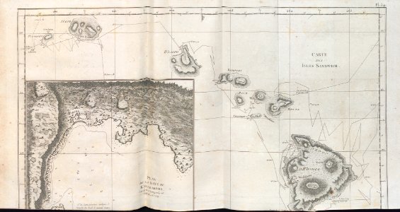
18th-century maps of the malay archipelago
1790s maps of china
juan de la cruz cano y olmedilla
maps by tomas lopez
juan de la cruz cano y olmedilla
maps by tomas lopez
le neptune francois
charles pène 8th
a map of the provinces of new york and new jersey, with a part of pennsylvania and the province of quebec
lawrence h. slaughter collection of english maps, charts, globes, books and atlases
eran laor cartographic collection
willem albert bachiene
lawrence h. slaughter collection of english maps, charts, globes, books and atlases
nypl lionel pincus and princess firyal map division
maps from university of amsterdam special collections
atlas der neederlanden
old maps of spitsbergen
1642
eran laor cartographic collection
willem albert bachiene
augustus kollner
pictorial maps
historical
history
media from atlas of mutual heritage on dutch east india company
17th-century maps of mozambique
lawrence h. slaughter collection of english maps, charts, globes, books and atlases
covens en mortier
1770s maps of alaska
robert de vaugondy
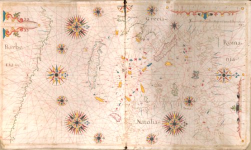
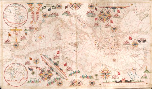
17th-century maps of the mediterranean sea
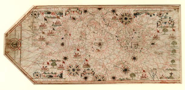
portolan charts made in the 17th century
school
maps
historical
history
maps by pieter mortier
le neptune francois
school
maps
eran laor cartographic collection
willem albert bachiene
1730s maps of the philippines
baroque painting
18th-century maps of greenland
old maps of the arctic
maps from the earth and its inhabitants, vol. iv
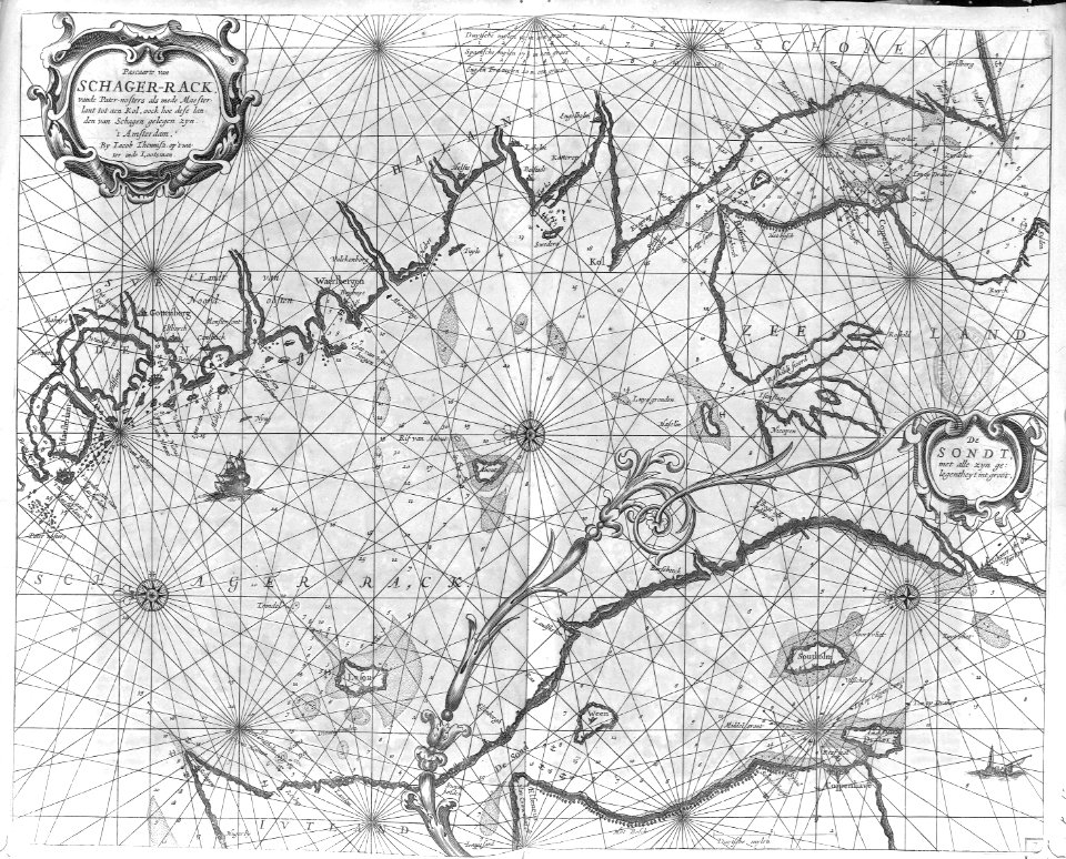
charts of plymouth sound
holy roman empire
pierre mortier
maps from university of amsterdam special collections
atlas der neederlanden
maps from university of amsterdam special collections
atlas der neederlanden
maps from university of amsterdam special collections
atlas der neederlanden
maps from university of amsterdam special collections
atlas der neederlanden
maps from university of amsterdam special collections
atlas der neederlanden
portolan charts by willem and johannes blaeu
1620s maps of the atlantic ocean
maps from university of amsterdam special collections
atlas der neederlanden
1740s maps of the world
maps by emanuel bowen
travel
maps
travel
maps
18th-century maps of korea
nouvel atlas de la chine
carta hydrographica y chorographica de las yslas filipinas... - por... el pe pedro murillo velarde - btv1b53066953z
baroque painting
cartography
maps
cartography
maps
cartography
maps
travel
maps
travel
maps
cartography
maps
cartography
maps
travel
maps
old maps of the strait of gibraltar
hendrik de leth
old maps of scotland from the norman b. leventhal map center
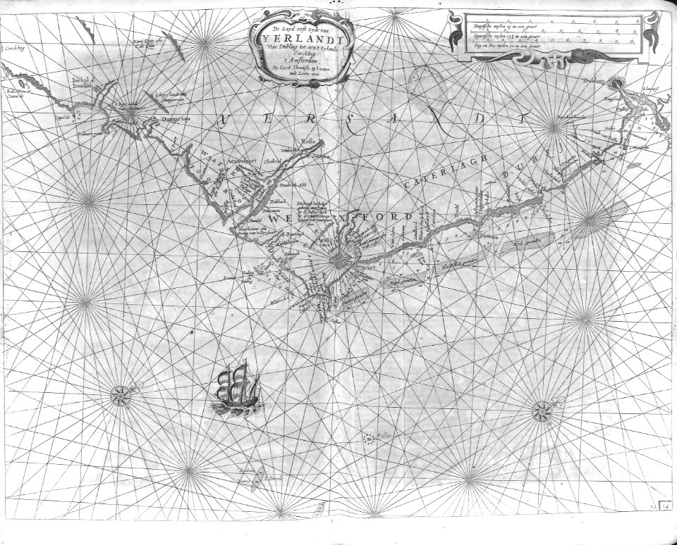
old maps of ireland from the norman b. leventhal map center
cartography
maps
cartography
maps
cartography
maps
travel
maps
travel
maps
travel
maps
cartography
maps
cartography
maps
cartography
maps
cartography
maps
cartography
maps
cartography
maps
historical
history
cartography
maps
cartography
maps
cartography
maps
cartography
maps
maps of the dutch east india company - bengal
maps of the dutch east india company - india
fictional galaxies
star wars maps
carte du mexique et de la floride by guillaume delisle (1703)
french-language maps of mexico
heating
chart
chart
maps
maps of the west-indische compagnie
1665
cartography
maps
cartography
maps
cartography
maps
cartography
maps
cartography
maps
historical
history
historical
history
historical
history
maps in the library of congress
1752 maps of north america
airways
maps
cartography
maps
cartography
maps
cartography
maps
cartography
maps
cartography
maps
cartography
maps
cartography
maps
travel
maps
historical
history
travel
maps
chromolithographs in the rijksmuseum amsterdam
maps in the rijksmuseum amsterdam
travel
maps
cartography
maps
cartography
maps
cartography
maps
cartography
maps
africa
maps
901 - 1000 of 1,126
Next page
/ 12


![North America: based on the observations of Mrs. de l'Académie Royale des Sciences & some others, & on the most recent memoirs, 1700 [i.e. 1708]](https://cdn.creazilla.com/illustrations/10001447935/north-america-based-on-the-observations-of-mrs-de-lacadmie-royale-des-sciences-some-others-on-the-most-recent-memoirs-1700-ie-1708-md.jpg)


![Map of the Slaperdijk stretching from the Stichtse mountains to the height of Gelderland / ... Justus van Broeckhuysen ... measured and charted accordingly ... in September 1705; [engraved by Caspar Specht], Caspar Specht, 1705](https://cdn.creazilla.com/illustrations/10000611407/map-of-the-slaperdijk-stretching-from-the-stichtse-mountains-to-the-height-of-gelderland-justus-van-broeckhuysen-measured-and-charted-accordingly-in-september-1705-engraved-by-caspar-specht-caspar-specht-1705-md.jpg)
![Map of the Slaperdijk stretching from the Stichtse mountains to the height of Gelderland / ... Justus van Broeckhuysen ... measured and charted accordingly ... in September 1705; [engraved by Caspar Specht], Caspar Specht, 1705](https://cdn.creazilla.com/illustrations/10001105269/map-of-the-slaperdijk-stretching-from-the-stichtse-mountains-to-the-height-of-gelderland-justus-van-broeckhuysen-measured-and-charted-accordingly-in-september-1705-engraved-by-caspar-specht-caspar-specht-1705-md.jpg)
![Map of the Slaperdijk stretching from the Stichtse mountains to the height of Gelderland / ... Justus van Broeckhuysen ... measured and charted accordingly ... in September 1705; [engraved by Caspar Specht], Caspar Specht, 1705](https://cdn.creazilla.com/illustrations/10001202757/map-of-the-slaperdijk-stretching-from-the-stichtse-mountains-to-the-height-of-gelderland-justus-van-broeckhuysen-measured-and-charted-accordingly-in-september-1705-engraved-by-caspar-specht-caspar-specht-1705-md.jpg)
![Map of the Slaperdijk stretching from the Stichtse mountains to the height of Gelderland / ... Justus van Broeckhuysen ... measured and charted accordingly ... in September 1705; [engraved by Caspar Specht], Caspar Specht, 1705](https://cdn.creazilla.com/illustrations/10001411130/map-of-the-slaperdijk-stretching-from-the-stichtse-mountains-to-the-height-of-gelderland-justus-van-broeckhuysen-measured-and-charted-accordingly-in-september-1705-engraved-by-caspar-specht-caspar-specht-1705-md.jpg)
![Map of the Slaperdijk stretching from the Stichtse mountains to the height of Gelderland / ... Justus van Broeckhuysen ... measured and charted accordingly ... in September 1705; [engraved by Caspar Specht], Caspar Specht, 1705](https://cdn.creazilla.com/illustrations/10001438819/map-of-the-slaperdijk-stretching-from-the-stichtse-mountains-to-the-height-of-gelderland-justus-van-broeckhuysen-measured-and-charted-accordingly-in-september-1705-engraved-by-caspar-specht-caspar-specht-1705-md.jpg)

![Map of the Slaperdijk stretching from the Stichtse mountains to the height of Gelderland / ... Justus van Broeckhuysen ... measured and charted accordingly ... in September 1705; [engraved by Caspar Specht], Caspar Specht, 1705](https://cdn.creazilla.com/illustrations/10001059198/map-of-the-slaperdijk-stretching-from-the-stichtse-mountains-to-the-height-of-gelderland-justus-van-broeckhuysen-measured-and-charted-accordingly-in-september-1705-engraved-by-caspar-specht-caspar-specht-1705-md.jpg)